Aerial Environmental Assessment
Get The Whole Picture
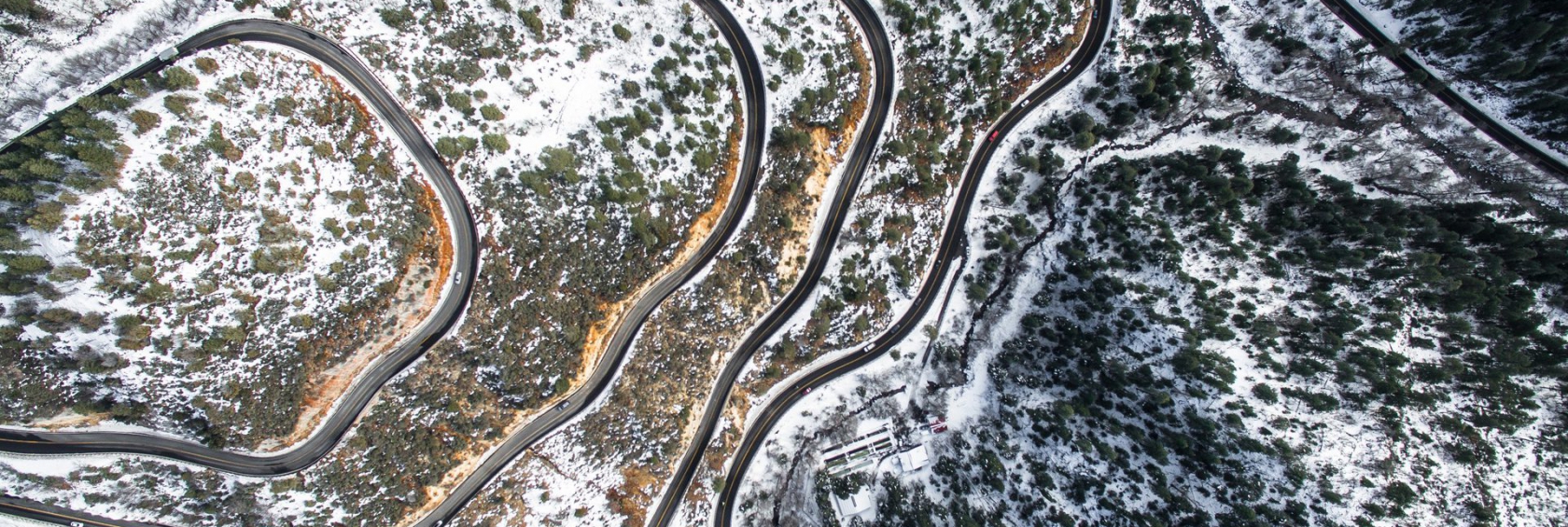
Our services including aerial video, infra-red imagery, high resolution ortho-photography and thermal imagery, allow you to make assessments in near real time. Our services allow you to document events as they happen and make critical decisions faster. The ability to get close up to target sites without having to send personnel, increases the speed and safety and allows better understanding of site dynamics.
Information You Need, When You Need It
Phillips & Stevens UAV solutions give you the ability to assess environmental conditions quickly and on a near continuous basis. This approach gives you maximum flexibility so that we work on your schedule. No downtime is our goal with the fastest provable insured results in the industry.
Increase Reliability
Phillips & Stevens uses the latest in technology combined with licensed surveyors and remote sensor technicians to ensure you get the most complete and accurate data sets. Our track record is impeccable and we continue to bring options to market that exceed expectations. Conditions such as ice movement, spill assessment, leaching extents are just some of the critical assessments that are well adapted to our technology.
Increased Safety
Safety is number one at your company and Phillips & Stevens is right there with you. Our safety protocols have been refined to match the needs of the changing way companies operate. Our safety reporting includes daily hazard assessments and controls that prove compliance and keep your workplace safe.
Better Reporting
Phillips & Stevens reporting leads the industry and provides the customisable analysis you expect. All reporting for our UAV services provide colour photo maps of an area custom indexed for your data set. Seeing is believing and our reports for environmental assessments such as leachate, flood intrusion, ice monitoring and wildlife monitoring are first class as well, making your job easier.
Continuous Monitoring
Our clients are already familiar with our clear and well-illustrated reports and this service takes that to the next level. This gives you the ability to get continuous access to your information in near real time. For less cost than conventional assessments, you can have more information, more often, in less time.
All Year Long, Anywhere
From Baffin Island to British Columbia, we go where you need us, and the weather is largely not an issue. Our trained technicians can get you the information you need, in even the remotest of places. It is what we do, and we love it.
Where to start
Call us today to set up your free consultation and take the next step in improving your bottom line. Our experts can help you get more for less and tailor a service that is right for you.


