Crop Analytics
High Detail, Low Cost
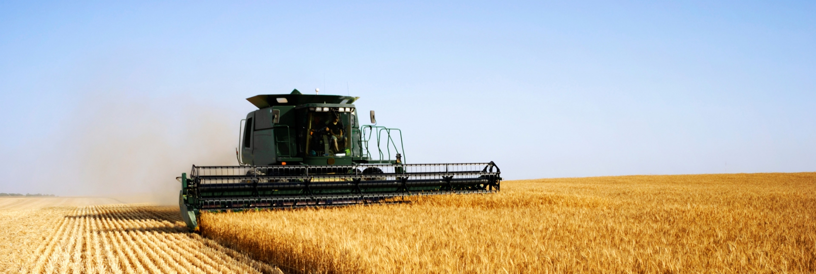
UAVs or drones offer new resources for farmers, seed companies and other crop management service providers to increase yields. Drones offer the ability to monitor crops in real time to assess crop health and catch problems when they can be treated. The level of detail compared with satellite imagery and the relatively low cost compared with traditional aerial remote sensing, makes UAV assessment a great tool when it has to be right for your crop.
Work harder or work smarter?
Phillips & Stevens drone services combined with precision agriculture techniques allow farmers to reduce cost and increase yield with less effort. Work harder or work smarter? We thought so. Contact us to see how our services can add to your bottom line.