Inspection and Monitoring
Precision Inspection and Monitoring
Phillips & Stevens drone service allow companies to monitor many things from construction sites to utility installations to environmental impacts of developments. Seeing in believing and regulatory documentation is no different. Precision georeferenced photography can make documentation of inspections compliance easier and more reliable. Georeferenced data is essential to a good GIS based inspection and monitoring system and Phillips & Stevens is your trusted partner.
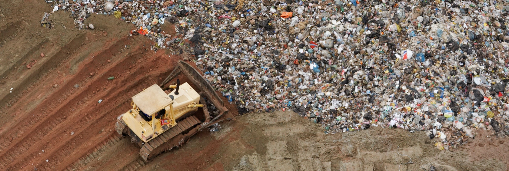
UAV Surveys for Land Fills
Many land fill operations can benefit from proper monitoring including volumetrics. This is where Phillips & Stevens drone and survey services improve on the previous attempts by others. Our service eliminate problems such as bird and equipment movement by using integrated survey services. This is the difference that professional surveyors and photogrammetrists bring to ensure the data you have is reliable.
